Resource Management Plan Revision Process
for the rock springs planning area
The Rock Springs Resource Management Plan Revision process:
The Greater Little Mountain Area is currently managed under the 1997 Green River Resource Management Plan (RMP). You can find the 1997 plan for reference here.
The local Rock Springs BLM Office is working on revising its Resource Management Plan (RMP) and published their draft RMP Revision on August 18, 2023 so that members of the public can review it and provide feedback.
The Greater Little Mountain Coalition will talk with a variety of stakeholders and provide the BLM with their thoughts, while helping spread the word so that other members of the public know it’s time to review the plan and submit feedback.
We commit to being a trusted resource to you when it comes time to review and comment on the draft RMP.
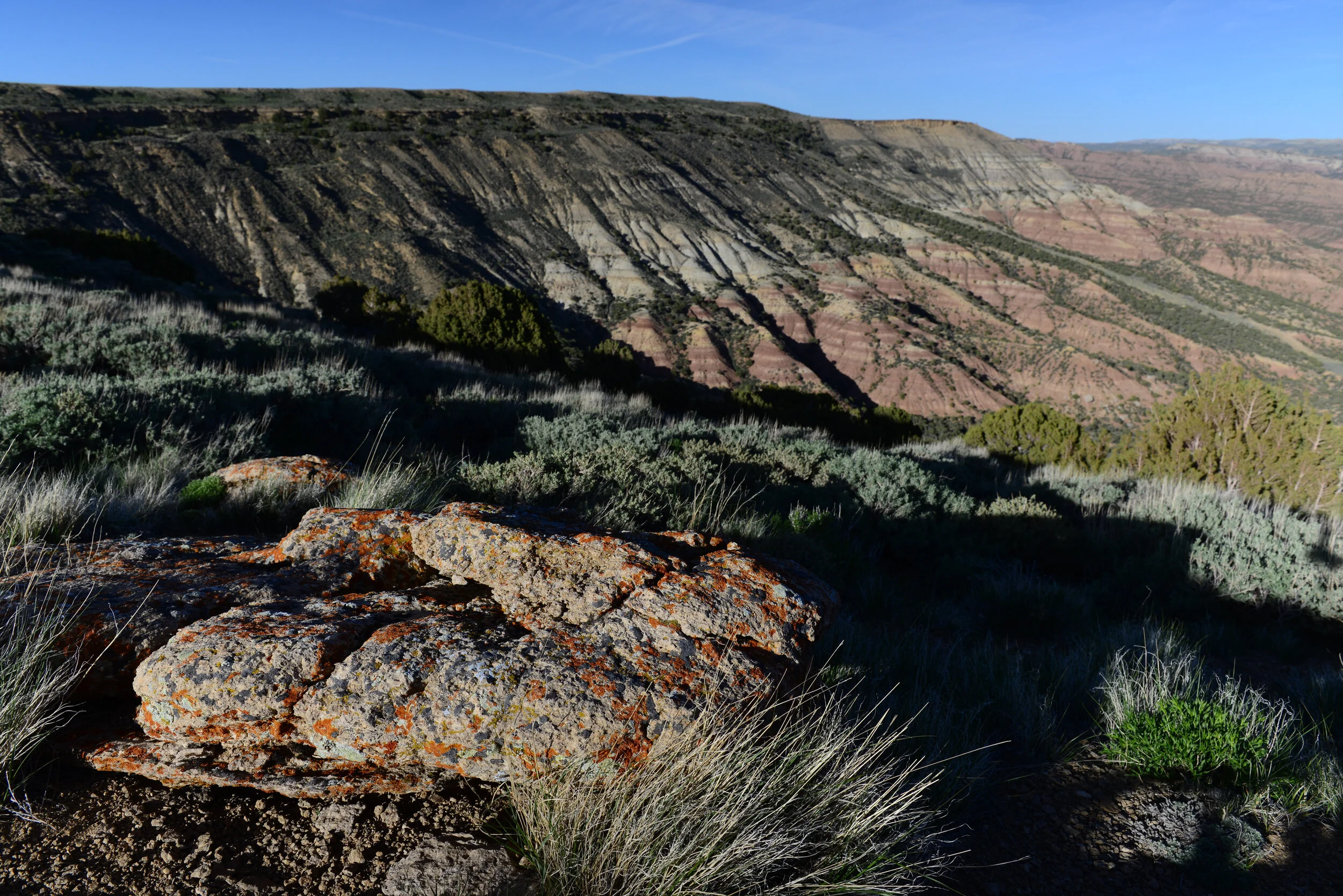
Background
The Greater Little Mountain Area (GLMA) comprises only 14% of the 3.6 million surface acres managed by the BLM Rock Springs Field Office, yet it provides some of the most highly valued fish and wildlife habitat and hunting opportunities in the region. In fact, the GLMA holds some of the most sought after big-game hunting units in the state and Eastman’s Hunting Journal regularly names these deer and elk units in their top five hunts for Wyoming. Since 1990, organizations alongside state and federal agencies have invested over $10 million dollars in on-the-ground projects enhancing and maintaining the land and water values the Coalition and the public hold so dear.
“On August 18, 2023 the Bureau of Land Management begins a 90-day public comment period for the Rock Springs Field Office Draft Resource Management Plan and associated Draft Environmental Impact Statement covering 3.6 million acres of public lands and 3.7 million acres of Federal mineral estate in portions of Lincoln, Sweetwater, Uinta, Sublette and Fremont counties in southwest Wyoming. The comment period closes Nov. 16, 2023.” (Copied from the BLM Rock Springs Field Office’s web page for the Rock Springs RMP Revision)
The Greater Little Mountain Coalition Proposal:
The Coalition recommends implementing specific habitat conservation parameters within the GLMA and incorporating up-front planning with specific oil and gas lease parcel stipulations to mitigate anticipated impacts (in accordance with the BLM’s multiple-use and sustained yield mandate). The current fragmented, parcel-level management approach through Applications for Permit to Drill (APD) is not sufficiently proactive and can be improved upon.
The Coalition is proposing the following resource management prescriptions:
Implementation of an upfront plan for responsible oil and gas leasing in the proposed GLMA boundary that includes the Sage Creek watershed (see map below)
Creation of additional no surface occupancy (NSO) and right of way exclusion (ROW) areas in the Sugarloaf Basin, Sage Creek and Pine Mountain areas to protect fish and wildlife habitat, improve watershed conditions and sustain high-quality recreational opportunities;
Maintenance of existing management in Currant Creek and Red Creek management areas and;
Application of controlled surface use stipulations (CSU) in the Pine Mountain management area.
If NSO is implemented in Sage Creek, Sugarloaf Basin Special Management Area, and a portion of Pine Mountain zone, and if management of Currant Creek and Red Creek remain unchanged, then allow for year-round development in the Salt Wells Resource Area.
for more information and updates:
Follow the Greater Little Mountain Coalition on Facebook and Twitter (click the icons at the bottom of this web page)
Check the BLM Rock Springs Field Office’s web page for the Rock Springs RMP Revision